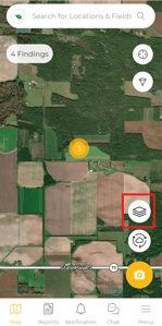
Select the "Layers" button on the "Map" view screen.
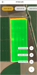
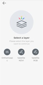
Select the relevant layer you wish to view.
Orthomosaic = High-resolution with Bird's eye view from the drone.
* Will only appear after orthomosaic mission was performed.
Satellite NDVI = NDVI measures plant health by near-infrared reflection. Read more here.
Satellite RGB = Updated satellite image.
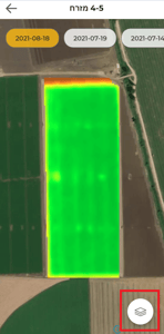
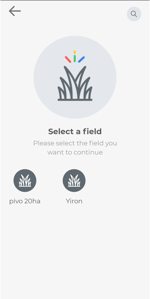
Select the field you wish to view.
Scout your findings by date.
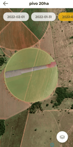
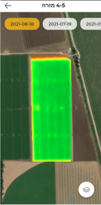
Press the "Layer" bottom to switch between existing layers.