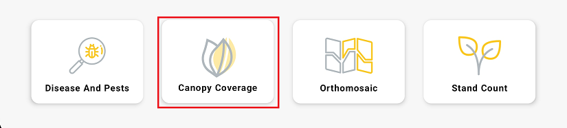
Select the "Canopy Cover" Mission.
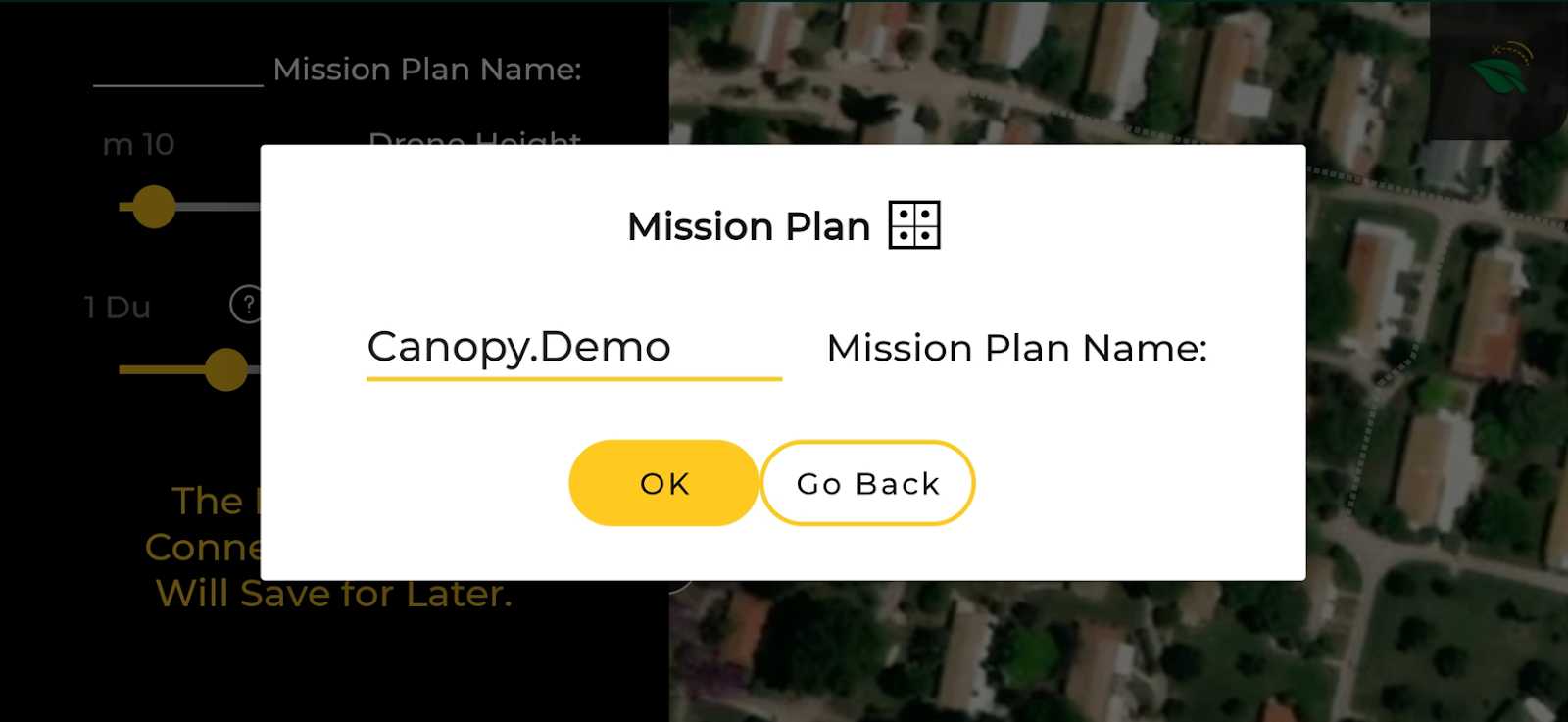
Enter the name of the "Mission Plan."
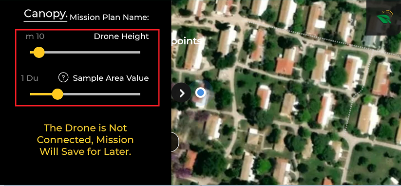
Adjust mission settings, drone altitude, and sample area value.
The Agro-Scout recommendation for canopy cover altitude is 10 meters.
The sample area value determines the square size of a sample photo.
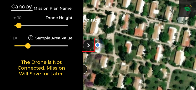
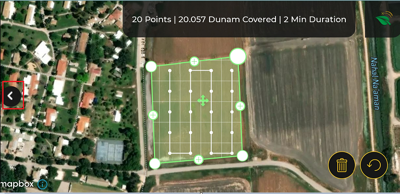
Press the black arrow to minimize the settings bar.
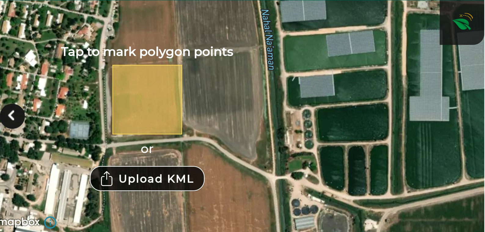
Drag the map and place the yellow square in the middle of your field. Then, tap the yellow square to paste it on the map.
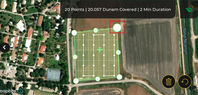
Adjust the edges of the polygon by dragging the white circles to the actual boundaries of the field.
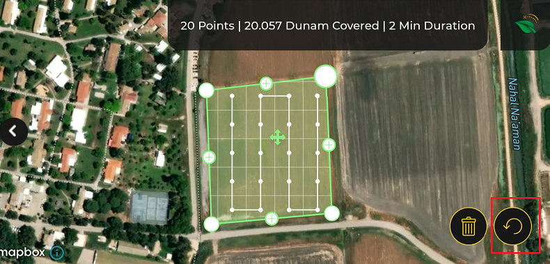
Press the reload button to go back to the previous edges.
Press the "+" sign to open a new circle to draw a non-cubic structure on the field.

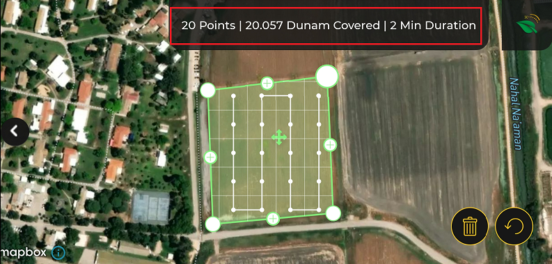
At the top of the screen, you can see the number of shots (points) and the mission's duration.
Press the black arrow to open the bar on the right.
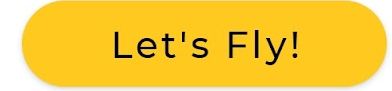
Press the "Let's Fly!" button.

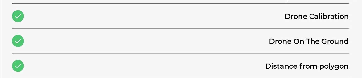
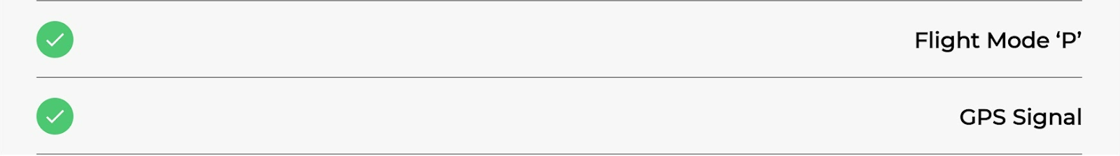
The pre-flight checklist will open. Make sure all checkboxes are marked with a green "✓. "
Press the "Let's Fly!" button.
How to Make an Existing Mission?
How to Make a Disease and Pests Mission?