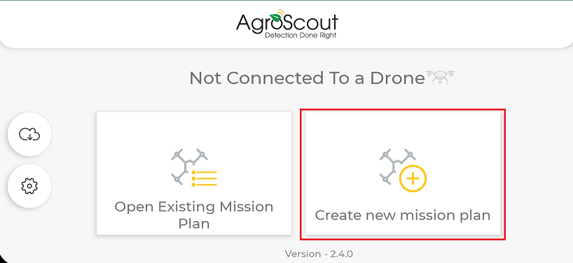
Select the option "Create New Mission Plan."
Leave the top left button on "Basic."
Select the mission.
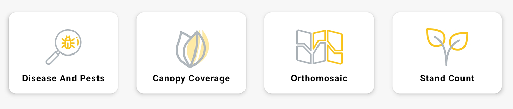
Pests and Diseases - The drone will search for pests two meters above the ground. Afterward, Agro-Scout's artificial intelligence will scan the photos, mark abnormalities, and send you the report with the top 50 marks.
Pest and Disease Mission can be made in all crops. However, artificial intelligence only scans images of tomatoes, potatoes, corn, cotton, and soybeans. Other crops will be tagged manually by the user.
Tomato Ripeness is taken by pest and disease drone pattern.
Canopy Coverage - The drone will fly over the canopy and scan the vegetation. Agro-Scout's artificial intelligence will examine the images and calculate the percentage of field canopy coverage. This tool allows vegetative field monitoring throughout the season and identifies variations within the field.
Orthomosaic - The drone will fly high over the field and take overlapping images. The result will be a high-resolution layer of the entire field. This mission allows an overview of the field to detect abnormal areas that cannot be identified from the edges of the field.
Orthomosaic NDVI is supported when using Mavic 3 Multispectral.
Stand Count - The drone will fly over the field and take pictures of emerging plants. Agro-Scout's artificial intelligence will count the plants and calculate the emergency percentage for each area. This tool allows monitoring the emergence of the field to estimate future productivity.
* Stand Count missions can only be performed on tomatoes, potatoes, corn, and cotton.
Advanced users:
Change the "basic" button to "advanced" in the upper right corner.

Select one of the flight patterns:

Mapping - The drone scans and films the entire field back and forth. The photos will cover the whole area.
Squares Scout - The drone scans the field statistically by dividing it into squares. The drone will take a photo in each square.
Scouting - The drone will scan the field following a "W" flight pattern.
The drone will only scan areas within this flight pattern.
Linear Scouting - The drone will scan the field along the line.
Best use to scan the edges of the field
Points of Interest (POI) - The drone will scan points on the map that the user chooses.
You can download images of each flight pattern for any mission except orthomosaic, which only works in mapping patterns.
How to Open an Existing Mission?
How to Make a Disease and Pests Mission?
How to Make a Canopy Coverage Mission?